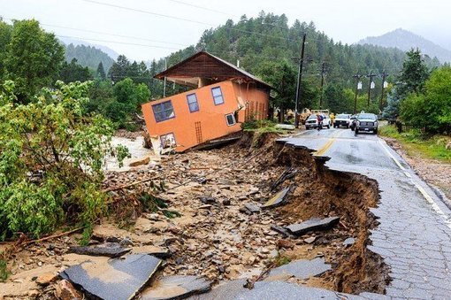
With the recent flooding events that swept the western United States, a lot of attention has turned towards assessing flood-related damages in order to assign and focus relief efforts, and towards mitigating future damages by identifying and...
from Geoprocessing | Scoop.it http://www.scoop.it/t/geoprocessamento/p/4013778195/2014/01/07/the-role-of-high-resolution-imagery-and-gis-in-flood-relief-efforts-in-colorado
via IFTTT
Nenhum comentário:
Postar um comentário